Workshop | Mapping Activities and Social Interactions in Walkable Areas
December 10, 2022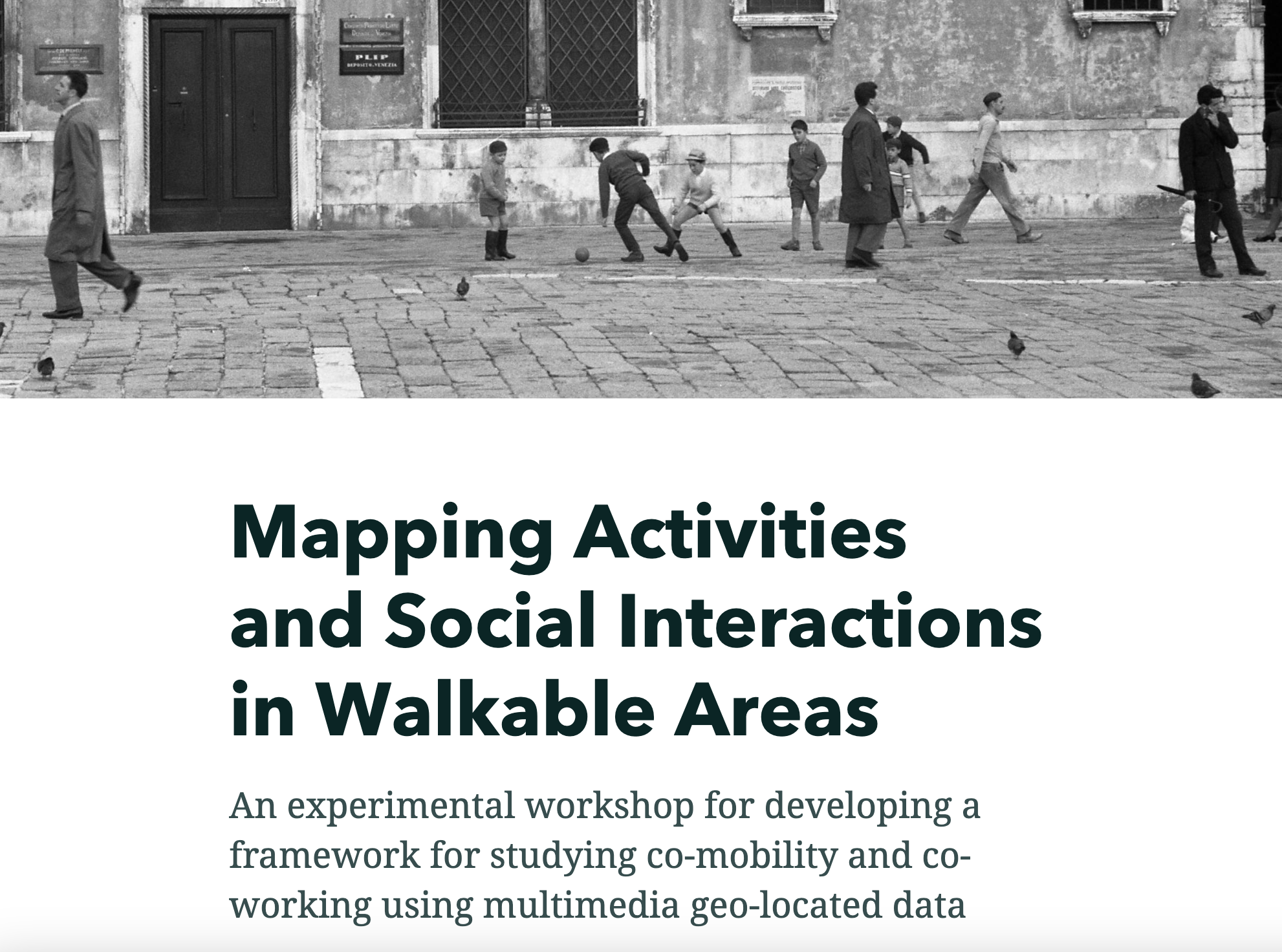
Multimedia digital traces (geo-located audio, video and textual data, GPS and mobile phone data, etc.) collected with distributed sensor systems or other methods of urban anthropology, offer unique opportunities for mapping and studying human activities that take place in a walkable urban environment, such as the historic city of Venice, and understand emerging and complex phenomena such as co-mobility, co-working, and other forms of interaction in open or socially permeable spaces, such as the campi and fondamente of Venice. However, this type of study opportunity is not without risks and methodological, technical, and technological complexities related to the collection, processing, and aggregation of these sensitive geo-located micro-data.
Building on what was learned in the AquaGranda project, this workshop initiated the development of a comprehensive methodology for mapping walkable urban areas and the human activities that take place within them.
Organized by Carlo Santagiustina, Department of Management - Ca' Foscari University
Link: https://storymaps.arcgis.com/stories/9c17c6eca4f4433f97a6cfb623fe4418
Link: https://storymaps.arcgis.com/stories/9c17c6eca4f4433f97a6cfb623fe4418